
Geological & Hydrogeological Survey Services
Scientific field analyses for soil, rock and water movements.


Overview
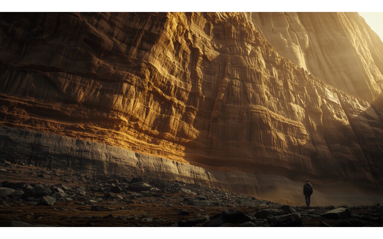
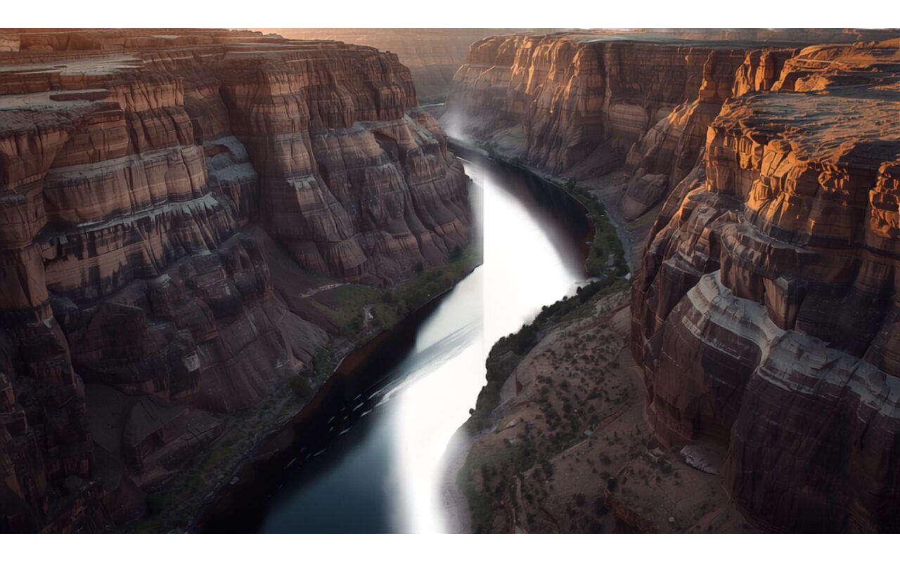
Our geological and hydrogeological survey services focus on understanding a site's subsurface and surface conditions through scientific methods. We carry out geological mapping, soil and rock studies and geotechnical assessments to reveal the structural characteristics of the site. Fieldwork is conducted using standard measurement and sampling methods, and the resulting data is reported systematically. These studies are among the most critical inputs forming the technical foundation of a project.
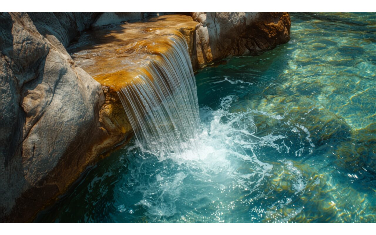
Hydrogeological work examines the presence and movement of groundwater and its effect on operations. By assessing water level, flow direction and potential water-management needs, operational and environmental risks are identified in advance. Reserve surveys, in turn, provide a reliable picture of the quantity and quality of the resource. This data becomes decisive for both production planning and water management.
Survey results directly feed reserve assessment, geotechnical design and water-management decisions. These reports are also an integral part of the technical dossiers prepared under the relevant regulation. A solid geological foundation reduces uncertainties and cost surprises in later stages. Investment decisions are thus made on a basis grounded in scientific evidence.
Scope
- Examining soil and rock structure.
- Groundwater survey and assessment.
- Reserve and geotechnical analysis.
- Field observation and sampling work.
How we work
We follow the same disciplined engineering flow on every project.
Field & Data
We survey the site and collect the required data.
Engineering & Reporting
We analyze the data and prepare engineering reports.
Delivery & Follow-up
We deliver the outputs and follow the process through.
Deliverables
- Geological survey report.
- Hydrogeology and groundwater report.
- Reserve and geotechnical assessment report.
Why TSD
- Fully compliant, regulation-driven process management.
- A multidisciplinary team of expert engineers.
- A traceable and measurable workflow.
FAQ
Do you need to visit the site?
Yes. Field observation, measurement and sampling are essential for reliable results.
Can the reports be used officially?
Reports are prepared in line with regulations and can be used in the relevant official applications.
Other Services
Authorized Legal Entity Services
We provide compliant technical support across all official processes.
Mining – Consultancy & Advisory Services
Comprehensive mining consultancy for exploration, operation and project management.
Terrain Modeling Services
Precise terrain data and topographic models tailored to projects.
Let us discuss your project
Get in touch to assess your needs and plan the right solution with us.