
Terrain Modeling Services
Precise terrain data and topographic models tailored to projects.


Overview
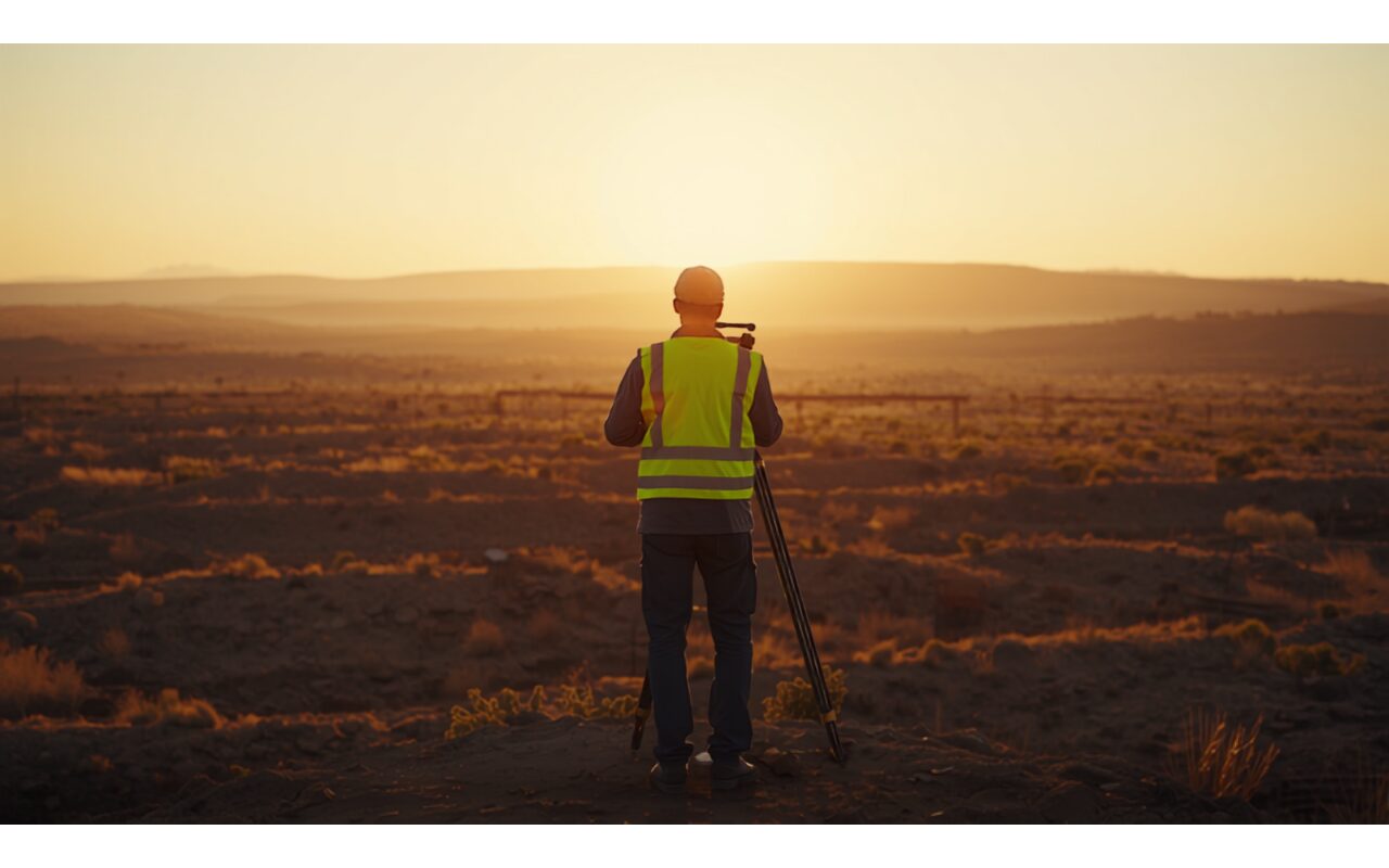
Our terrain modeling services aim to create an up-to-date, high-precision digital representation of a site. Using photogrammetric measurements carried out with GNSS, total station and unmanned aerial vehicles (UAV/drone), we map the terrain in detail. These methods enable consistent and accurate data collection even on large or hard-to-access sites. The raw data collected forms the basis of all subsequent analysis.
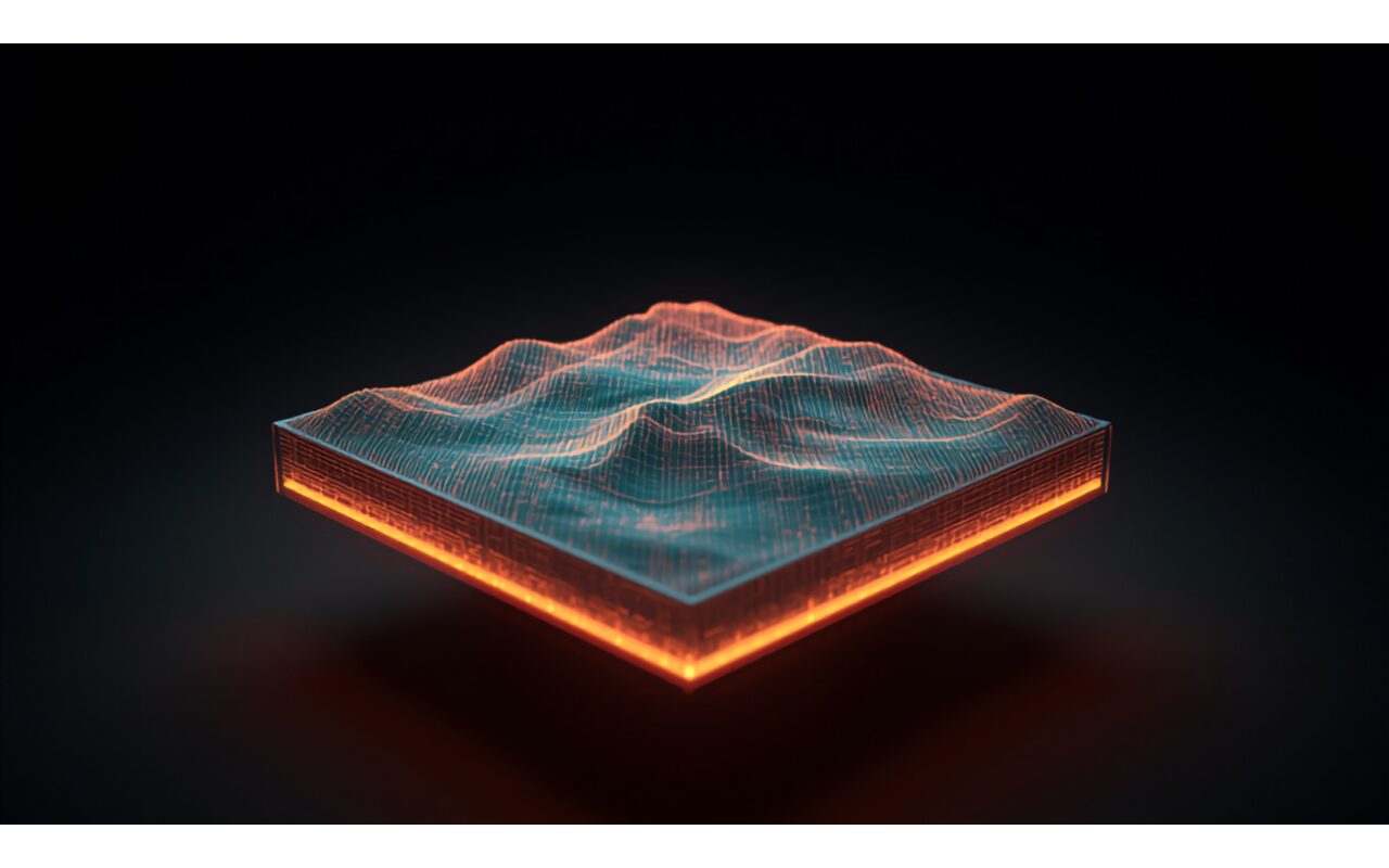
From the measurement data, topographic maps and digital terrain and elevation models are produced. Volume and earthwork calculations are made from these models to reliably determine production and stripping quantities. The results provide a solid reference for planning and design work. In this way, changes on the site can be monitored and compared over time.
The terrain models produced are used in planning and engineering design as well as in license and project dossiers. Accurate volume and topography data increases the reliability of both operational decisions and official documents. The models allow different disciplines to work on a shared data basis. This provides a consistent and transparent foundation for all stakeholders of the project.
Scope
- High-precision terrain surveying.
- Topographic map production.
- Digital terrain model creation.
- Volume and slope analysis.
How we work
We follow the same disciplined engineering flow on every project.
Field & Data
We survey the site and collect the required data.
Engineering & Reporting
We analyze the data and prepare engineering reports.
Delivery & Follow-up
We deliver the outputs and follow the process through.
Deliverables
- Topographic map and survey data.
- Digital terrain model (DTM).
- Volume and analysis report.
Why TSD
- Fully compliant, regulation-driven process management.
- A multidisciplinary team of expert engineers.
- A traceable and measurable workflow.
FAQ
Which survey methods do you use?
We combine GNSS, total station and, where needed, unmanned aerial surveys.
In which formats are models delivered?
We deliver outputs in common CAD and GIS formats, ready for your use.
Other Services
Authorized Legal Entity Services
We provide compliant technical support across all official processes.
Mining – Consultancy & Advisory Services
Comprehensive mining consultancy for exploration, operation and project management.
Geological & Hydrogeological Survey Services
Scientific field analyses for soil, rock and water movements.
Let us discuss your project
Get in touch to assess your needs and plan the right solution with us.